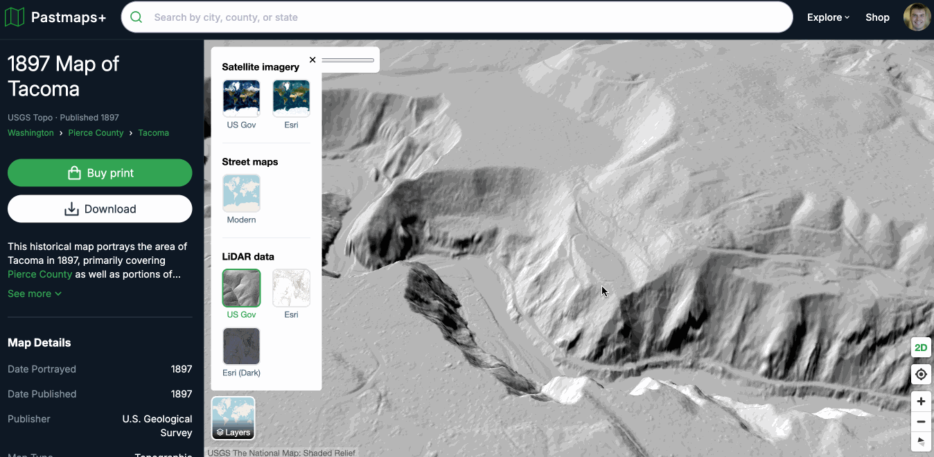
  Craig here from Pastmaps, it's been a while! Work has continued all year at a breakneck pace and I'm ridiculously excited to announce that we now offer LiDAR data for the entirety of the United States and across every single one of our maps. This is a feature that I have personally wanted for years for my own metal detecting research, as LiDAR is a new kind of technology that can peel back the layers of trees, grass, and other foliage to reveal subtle features in the landscape that are not detectable to the human eye. Think old roads, mines, trails, homesteads, ghost towns, etc - it's pretty magical. Simply click the "Layers" button on any map and select one of the 3 available LiDAR layers to get started. Your research and exploration is about to level up in a serious way. --Craig ps. have feedback? just hit reply to reach me Pastmaps View this email online {{{pm:unsubscribe}}} |